What is a roadside settlement?
Roadside settlements often grew next to major roads in Roman times. Sometimes whole towns would grow along a road, only one house deep. Although they are usually considered ‘rural’, it’s sometimes difficult for archaeologists to tell a ‘roadside settlement’ from a small town or even a village. The people who lived in these settlements could easily travel and trade with each other because of their convenient location. Settlements next to busy roads with lots of traffic did well from passing trade, while less busy areas struggled.
Archaeologists think that lots of roadside settlements in Kent began in the 1st century AD. Not all of these settlements grew along just one road. Many grew from where two, or more, roads met at a junction. Others were located at river crossings. It’s possible that the Romans used roads and rivers to move people, goods, and maybe even animals. Settlements may have also charged tolls (crossing fees) at river crossings to make money.
What was life like at the settlement?
Roadside settlements were important because they were places where goods were bought and sold. They connected people who grew or made goods (like crops and textiles) and people who wanted to buy them. Agricultural products like crops and meat were brought to these settlements to be processed and sold. Other industries like metalworking, pottery production and tanning also operated at roadside settlements.
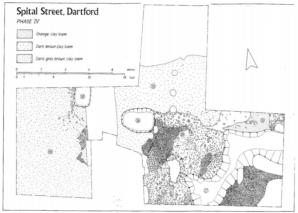
Archaeologists have found evidence of side lanes, buildings with hearths and wells, shrines and areas for processing goods at roadside settlements in southern England. Unlike towns, these settlements didn’t have large buildings like a forum or basilica.
Evidence from the Settlement
Click on the images below to find out more about objects and features found at this roadside settlement.
Activity Idea
GEOGRAPHY
Use your knowledge of Roman roadside settlements to create a map for your own settlement. Consider the layout of your settlement and how close it sits to roads and rivers. Think also about the kinds of industries that your settlement will need (this could include a kiln, metal-working space and more).


